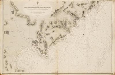
Map, North Island, East Coast
Production date
1947
Current rights
© In copyright
See full details
Object detail
Description
A map showing the coastal contours and water depths of the East Coast of the North Island of New Zealand from Gable End Foreland to Poverty Bay. Originally published in London at the Admiralty 22 May 1903. Stamped in red ink on reverse 'Marine Department' and '27' handwritten in blue ink. Map No. 3343.
Production date
1947
Measurements
676mm (height), 1037mm (width)
Accession number
0061/07
Current rights

