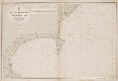
Map, North Island
Maker
R. E. Owen - Government Printer
Department of Navy
Production date
1959
Current rights
© In copyright
See full details
Object detail
Description
A map of coastal contours and water depth of Gable End Foreland to Cape Kidnappers. Stamped in blue ink on reverse 'Marine Department...New Zealand' and handwritten '10'.
Maker
R. E. Owen - Government Printer
Department of Navy
Department of Navy
Production date
1959
Production place
Wellington, New Zealand
Measurements
693mm (height), 1020mm (width)
Accession number
0081/07
Current rights

