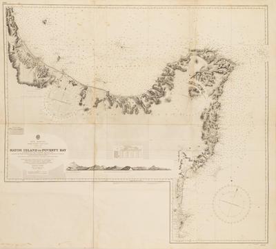
Map, East Coast, North Island
Production date
1952
Current rights
© In copyright
See full details
Object detail
Description
A map showing the coastal contours and water depths of the East Coast of the North Island from Mayor Island to Poverty Bay. Orginally published by the Admiralty London, 23 July 1906. Map numbered 2527.
Production date
1952
Measurements
997mm (height), 1007mm (width)
Accession number
0121/07
Current rights

